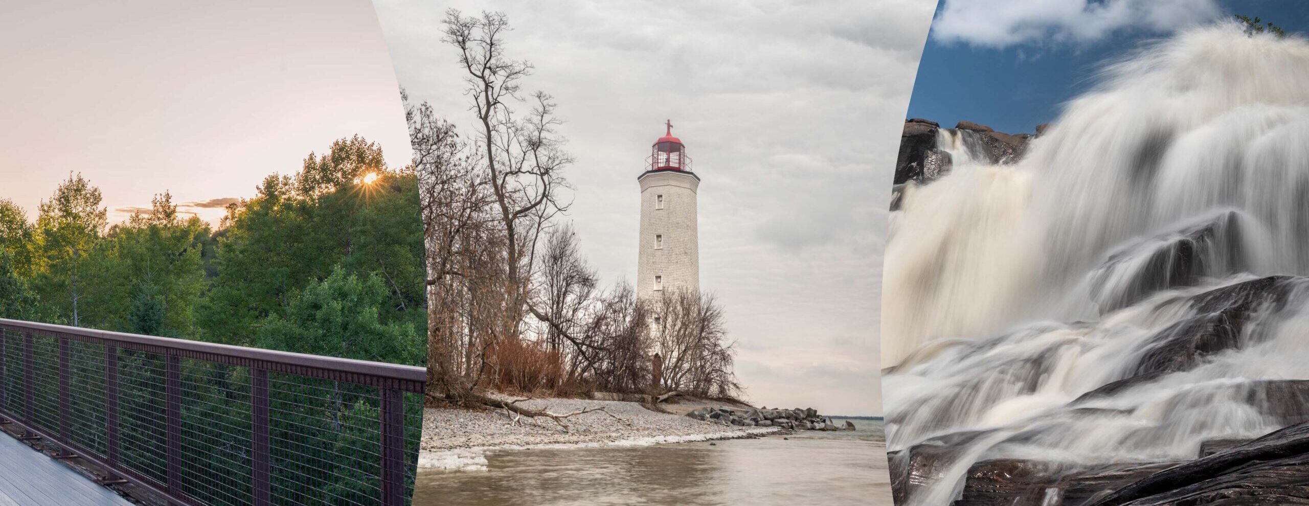
Hiking in the Boyne Valley Provincial Park on the Bruce Trail Niagara Escarpment were I meet some girl Guides on top of a lookout on the Primrose side trail.
The Boyne River cuts through the southern heartland of the province, about an hour’s drive north of Toronto. Flowing east, the river slices through the Orangeville and Singhampton moraines. The terrain features a range of natural communities, hardwood forest, open fields, bottomland, and swamp. Reforestation has replenished the forests felled by loggers. Park Facilities and Activities Boyne Valley is a non-operating park, and has no facilities except hiking trails. Visitors may fish, but hunting is not permitted. Hikers should note that the Bruce Trail gives access to an excellent lookout in the northern part of the park.
Location: About twenty km. north of Orangeville, four km. east of Shelbourne, north of the junction of hwys. 89 & 10. One km. north on Prince of Wales Rd.
Park Class Size IUCN# Location Operating Park Natural Environment 2 Southern No For more information: Earl Rowe Provincial Park Box 872 Alliston, Ontario Phone: Home Site Map Search Park Locator Boyne Valley Last Modified: November 5, 2002 Queen’s Printer for Ontario, 2008
