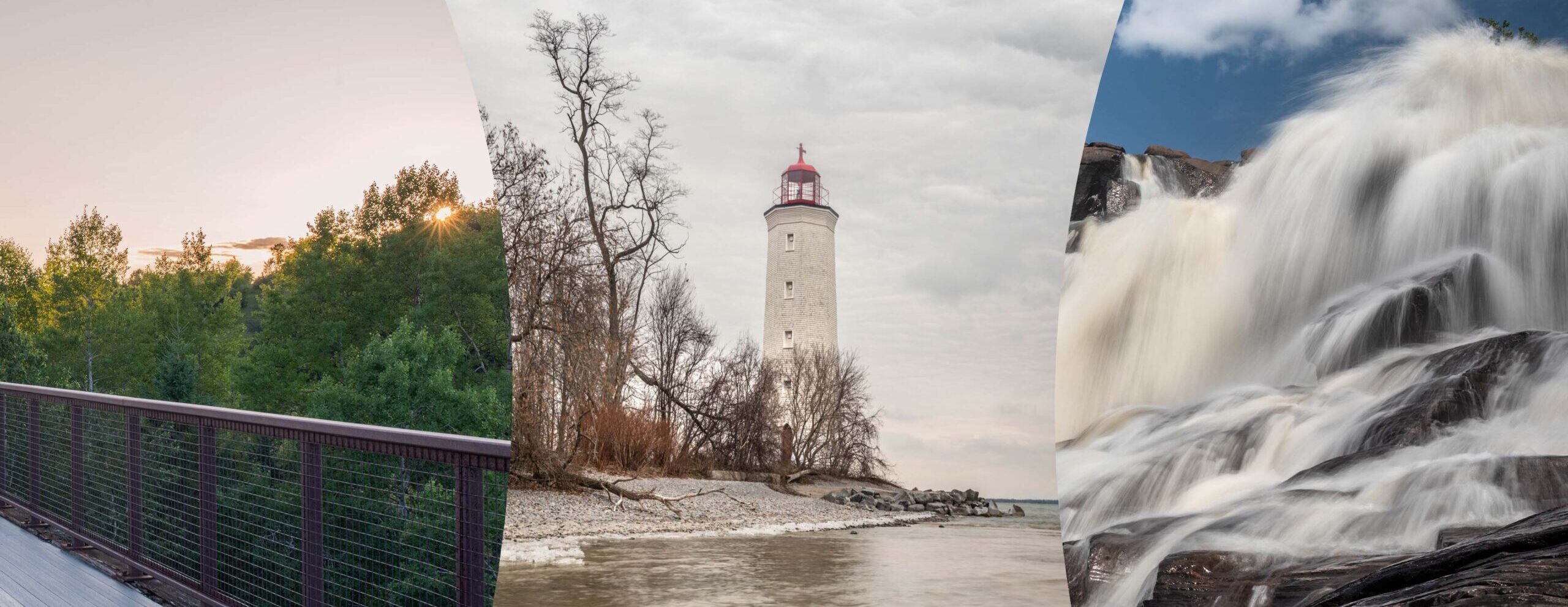
Cooper’s Falls is a 14.6km out and back trail located near Gravenhurst. The trail begins on Cooper’s Falls Road just a little bit off of Highway 11. There is parking lot right near the trail head, but you may need an off road vehicle to get to it. There is room for vehicles just off the road in certain spots. This trail is very well marked. You have official trail signs showing the trail and your current location, blue diamond blazes(these are the main markings), pink flagging tape, rock cairns, white blazes on rock sections, green km marking signage, as well as Trans Canada signs. This trail is actually part of The Great Trail which runs all across Canada(formerly called Trans Canada Trail). The start of the trail is just a short walk from the road, you’ll see the official start sign marking your current location(see pic). The trail starts with some double track and soon turns into single track. You cross a floating bridge and then the trail gets rockier. Eventually, you get to a short road section(Larroger Rd) before you head back on the trail. You also cross a wet section which has a bunch of planks to attempt to keep your feet dry. I would not recommend running this section as it is a little sketchy. You then make your way to Houseys Rapids Road which you will see the end of trail sign. Turn around and head back to the start and that’s all she wrote. You could also choose to start on Houseys Rapids Road. Along the journey, you will see lots of small bodies of water, and probably some water on the trail also. There are lots of rocky sections and short climbs which will make this route a challenge for anyone.
1 thought on “Coopers Falls Recreational Hiking Area”
Comments are closed.

Wow I knew this trail was here in Coopers Falls part of the Trans Canada Trail but this was my first timer hiking it in the summer. A bit buggy but a great hiking spot to say the least.