Exploring the Best Ontario Hiking Trails: A Guide to Hiking On the Cataraqui Trail
Hiking On The Cataraqui Trail is widely considered one of the most rewarding ways to experience the raw beauty of the Canadian wilderness. Spanning 104 kilometres from Smiths Falls to Strathcona, this multi-use path offers a unique blend of historical significance and natural splendor. Whether you are a seasoned adventurer or someone seeking a peaceful, active lifestyle, the trail provides a diverse landscape that transitions from rolling Ontario farmland to the rugged outcrops of the Canadian Shield. Because the path is built upon a former CN rail line, the gradients are kept gentle, making it an accessible choice for those focusing on fitness and long-distance trekking.
Hiking On The Cataraqui Trail: A Journey Through Ontario’s Diverse Landscapes
The experience of hiking on the Cataraqui Trail is defined by its three distinct geographical segments. From Smiths Falls (km 0) to Chaffey’s Lock (km 42), the trail passes through flat farmland and woods overlying limestone and sandstone. This section is often favored by those looking for a steady, rhythmic pace to improve their cardiovascular fitness. From Chaffey’s Lock (km 42) to Eel Bay (km 68.5) on Sydenham Lake, the trail traverses a neck of the Canadian Shield known as the Frontenac Axis. This links the vast Shield country to the north with its smaller but most impressive southern extremity, the Adirondack region of upper New York State. The Shield country is identified closely with its dominant geological characteristics of rugged, hilly forests, plentiful lakes and swamps, and numerous outcrops of attractive pink granite and grey gneiss. Finally, from Eel Bay (km 68.5) to Strathcona (km 103), the trail crosses mainly flat agricultural land known as the Napanee Plain, providing a serene conclusion to your journey through the outdoors.
Discovering the Premier Ontario Hiking Trails and Hidden Gems
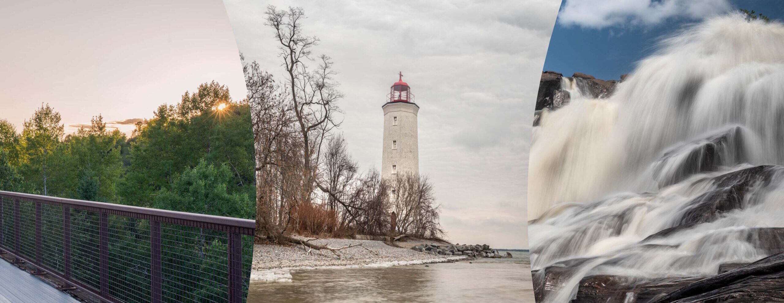
When Ontario hiking trails are researched by enthusiasts, the Cataraqui Trail is frequently highlighted for its versatility and scenic vistas. The path is maintained by dedicated volunteers, and it is utilized by a variety of users including cyclists, runners, and horse riders. During the winter, the trail is transformed into a snowy wonderland where cross-country skiing and snowmobiling become the primary modes of travel. Significant historical markers are found along the route, reminding visitors of the rail history that shaped this part of Canada. By choosing this trail, a commitment to an active lifestyle is embraced while surrounded by the tranquil sounds of nature.
Hiking On The Cataraqui Trail features a 104 km non-motorized path through historical communities and diverse geological terrain.
The 104 km non-motorized trail contains a variety of geographical features and has a historical past. It was built upon the former CN rail line, and the multi-use trail runs east to west through the heart of Eastern Ontario. A number of communities are passed through by the trail, including Portland, Chaffey’s Locks, Sydenham, and Harrowsmith. These stops allow hikers to refuel and explore local culture while remaining immersed in the wilderness. Today, the recreational trail is used by those who value both physical fitness and environmental appreciation.
Seasonal Beauty and Wildlife Observations
A vast array of wildlife is often spotted by observant hikers as they move through the different ecosystems. In the marshy areas, turtles are frequently seen basking on the gravelly banks, and ospreys are known to nest in the high canopies. Because the trail acts as a natural corridor, it is considered a vital part of the local ecology. Your outdoors experience is enriched by the sighting of deer or the call of a loon across one of the many lakes. For many, hiking on the Cataraqui Trail is as much about nature photography as it is about physical exercise.
Discover why hiking on the Cataraqui Trail is a top-tier experience for fans of Ontario hiking trails. This 104 km journey through the heart of Canada offers a mix of wilderness, history, and fitness opportunities. From the rugged pink granite of the Canadian Shield to the serene Napanee Plain, this guide covers everything you need to know about the trail’s geography and communities. Whether you are looking for an active weekend getaway or a long-distance trek, the Cataraqui Trail provides a flat, accessible route through stunning landscapes. Learn about the best entry points in Smiths Falls, Chaffey’s Lock, and Sydenham. Improve your health in the great outdoors while exploring the former CN rail line that connects local heritage with natural beauty. Plan your adventure on one of the most iconic trails in Ontario today!
Experience the best of Ontario hiking trails by planning your next trip to the historic and scenic Cataraqui Trail.
Maintain your fitness and explore the Canadian wilderness by hiking on the Cataraqui Trail this season.
Written By
Tom Worsley
Ontario trail hiker and outdoor photographer
This trail guide is based on first-hand visits and on-site observations documented by Tom Worsley.
View full author bio